
Wilge River topographic map
Interactive map
Click on the map to display elevation.
About this map
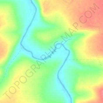
Name: Wilge River topographic map, elevation, terrain.
Average elevation: 1,618 m
Minimum elevation: 1,586 m
Maximum elevation: 1,655 m
Other topographic maps
Click on a map to view its topography, its elevation and its terrain.
Fika Patso Dam
South Africa > Free State > Maluti-a-Phofung Local Municipality
Fika Patso Dam, Mota Road, Maluti-a-Phofung Ward 21, Maluti-a-Phofung Local Municipality, Thabo Mofutsanyana District Municipality, Free State, South Africa
Average elevation: 1,934 m