
Ghio topographic map
Interactive map
Click on the map to display elevation.
About this map
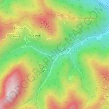
Name: Ghio topographic map, elevation, terrain.
Location: Ghio, Dronero, CN, Piemont, 12025, Italy (44.46196 7.27025 44.46206 7.27255)
Average elevation: 1,031 m
Minimum elevation: 692 m
Maximum elevation: 1,427 m