
Beakosneck 2&3 Private Nature Reserve topographic map
Interactive map
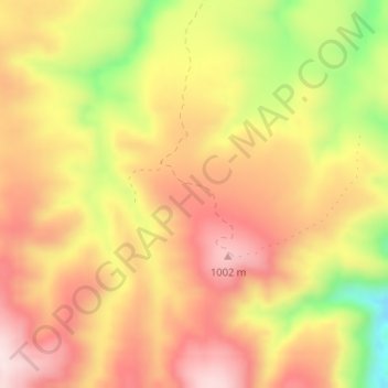
Click on the map to display elevation.
About this map
Name: Beakosneck 2&3 Private Nature Reserve topographic map, elevation, terrain.
Average elevation: 882 m
Minimum elevation: 667 m
Maximum elevation: 1,022 m