
Hotazel topographic map
Interactive map
Click on the map to display elevation.
About this map
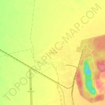
Name: Hotazel topographic map, elevation, terrain.
Average elevation: 1,060 m
Minimum elevation: 1,003 m
Maximum elevation: 1,097 m
Other topographic maps
Click on a map to view its topography, its elevation and its terrain.
Dithakong
South Africa > Northern Cape > John Taolo Gaetsewe District Municipality > Joe Morolong Local Municipality
Dithakong, Joe Morolong Local Municipality, John Taolo Gaetsewe District Municipality, Northern Cape, South Africa
Average elevation: 1,265 m
Madibeng
South Africa > Northern Cape > John Taolo Gaetsewe District Municipality > Joe Morolong Local Municipality
Madibeng, Joe Morolong Local Municipality, John Taolo Gaetsewe District Municipality, Northern Cape, South Africa
Average elevation: 1,011 m