
Oviston topographic map
Interactive map
Click on the map to display elevation.
About this map
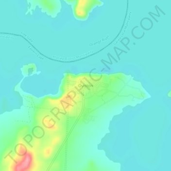
Name: Oviston topographic map, elevation, terrain.
Location: Oviston, Joe Gqabi District Municipality, Eastern Cape, RSA (-30.71417 25.74750 -30.67417 25.78750)
Average elevation: 1,266 m
Minimum elevation: 1,246 m
Maximum elevation: 1,353 m