
De Fryske Marren topographic map
Interactive map
Click on the map to display elevation.
About this map
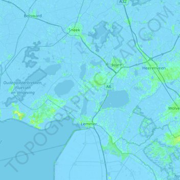
Name: De Fryske Marren topographic map, elevation, terrain.
Location: De Fryske Marren, Friesland, Netherlands, The Netherlands (52.76481 5.33784 53.05884 5.93785)
Average elevation: 0 m
Minimum elevation: -7 m
Maximum elevation: 12 m
Dutch topographic map of the municipality of De Fryske Marren, June 2015