
Kobjeglava topographic map
Interactive map
Click on the map to display elevation.
About this map
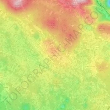
Name: Kobjeglava topographic map, elevation, terrain.
Location: Kobjeglava, Upravna enota Sežana, 5295, Slovenia (45.79468 13.78935 45.83468 13.82935)
Average elevation: 290 m
Minimum elevation: 143 m
Maximum elevation: 408 m