
Cartagena topographic map
Interactive map
Click on the map to display elevation.
About this map
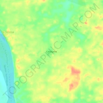
Name: Cartagena topographic map, elevation, terrain.
Location: Cartagena, Province of Alto Amazonas, Loreto, Peru (-5.85766 -76.08165 -5.81766 -76.04165)
Average elevation: 145 m
Minimum elevation: 122 m
Maximum elevation: 165 m