
Chaldon topographic map
Interactive map
Click on the map to display elevation.
About this map
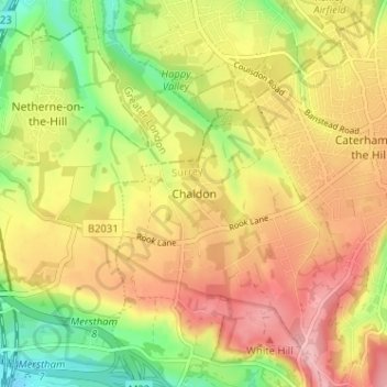
Name: Chaldon topographic map, elevation, terrain.
Location: Chaldon, Surrey, South East, England, CR3 5AF, United Kingdom (51.26366 -0.13858 51.30366 -0.09858)
Average elevation: 167 m
Minimum elevation: 91 m
Maximum elevation: 233 m