
Blaine County topographic map
Interactive map
Click on the map to display elevation.
About this map
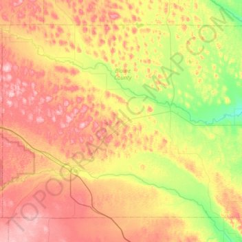
Name: Blaine County topographic map, elevation, terrain.
Location: Blaine County, Nebraska, United States of America (41.73943 -100.26750 42.08814 -99.68340)
Average elevation: 807 m
Minimum elevation: 729 m
Maximum elevation: 892 m
Other topographic maps
Click on a map to view its topography, its elevation and its terrain.
Antelope County
United States of America > Nebraska
Antelope County, Nebraska, United States of America
Average elevation: 568 m