
Ouled Maaleh topographic map
Interactive map
Click on the map to display elevation.
About this map
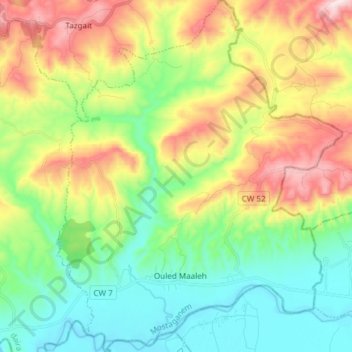
Name: Ouled Maaleh topographic map, elevation, terrain.
Location: Ouled Maaleh, Sidi Ali District, Mostaganem, Algeria (35.98178 0.54050 36.10307 0.66228)
Average elevation: 234 m
Minimum elevation: 23 m
Maximum elevation: 612 m