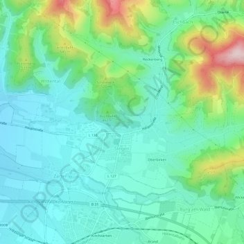
Stegen (Kernort) topographic map
Interactive map
Click on the map to display elevation.
About this map
Name: Stegen (Kernort) topographic map, elevation, terrain.
Average elevation: 436 m
Minimum elevation: 349 m
Maximum elevation: 696 m

Click on the map to display elevation.
Name: Stegen (Kernort) topographic map, elevation, terrain.
Average elevation: 436 m
Minimum elevation: 349 m
Maximum elevation: 696 m