
Putrajaya topographic map
Interactive map
Click on the map to display elevation.
About this map
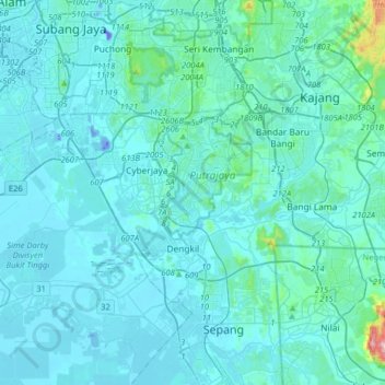
Name: Putrajaya topographic map, elevation, terrain.
Location: Putrajaya, 62618, Malaysia (2.75406 101.52385 3.07406 101.84385)
Average elevation: 38 m
Minimum elevation: -34 m
Maximum elevation: 591 m