
Cass County topographic map
Interactive map
Click on the map to display elevation.
About this map
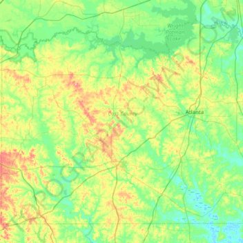
Name: Cass County topographic map, elevation, terrain.
Location: Cass County, Texas, United States of America (32.87941 -94.65404 33.31079 -94.04272)
Average elevation: 91 m
Minimum elevation: 54 m
Maximum elevation: 189 m
Other topographic maps
Click on a map to view its topography, its elevation and its terrain.