
Beltrami County topographic map
Interactive map
Click on the map to display elevation.
About this map
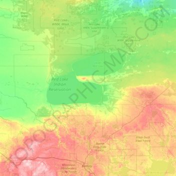
Name: Beltrami County topographic map, elevation, terrain.
Location: Beltrami County, Minnesota, United States of America (47.41027 -95.60268 48.54234 -94.41596)
Average elevation: 386 m
Minimum elevation: 338 m
Maximum elevation: 496 m
Other topographic maps
Click on a map to view its topography, its elevation and its terrain.