
Dhamani topographic map
Interactive map
Click on the map to display elevation.
About this map
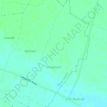
Name: Dhamani topographic map, elevation, terrain.
Location: Dhamani, Pauni Taluka, Bhandara District, Maharashtra, India (20.77268 79.74356 20.80514 79.76339)
Average elevation: 233 m
Minimum elevation: 229 m
Maximum elevation: 236 m