
Schiedam topographic map
Interactive map
Click on the map to display elevation.
About this map
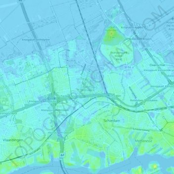
Name: Schiedam topographic map, elevation, terrain.
Location: Schiedam, South Holland, Netherlands (51.89668 4.35067 51.96341 4.41771)
Average elevation: 1 m
Minimum elevation: -8 m
Maximum elevation: 14 m