
Lumberton topographic map
Interactive map
Click on the map to display elevation.
About this map
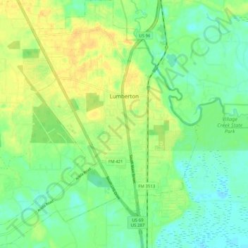
Name: Lumberton topographic map, elevation, terrain.
Location: Lumberton, Hardin County, Texas, United States of America (30.21258 -94.26117 30.29883 -94.16908)
Average elevation: 13 m
Minimum elevation: 1 m
Maximum elevation: 26 m