
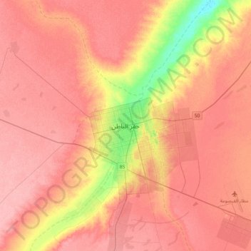
Hafar Al-Batin topographic map
Interactive map
Click on the map to display elevation.
About this map
Name: Hafar Al-Batin topographic map, elevation, terrain.
Location: Hafar Al-Batin, Eastern Region, 31991, Saudi Arabia (28.27281 45.80275 28.59281 46.12275)
Average elevation: 353 m
Minimum elevation: 288 m
Maximum elevation: 384 m