
Seruyan River topographic map
Interactive map
Click on the map to display elevation.
About this map
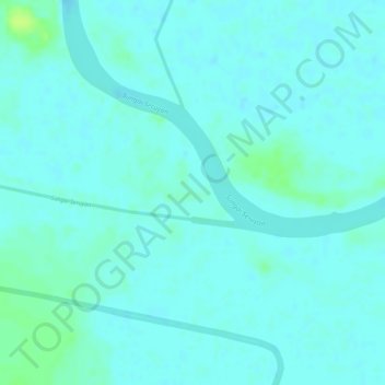
Name: Seruyan River topographic map, elevation, terrain.
Location: Seruyan River, Central Kalimantan, Indonesia (-3.25272 112.42654 -3.24784 112.45460)
Average elevation: 4 m
Minimum elevation: 0 m
Maximum elevation: 14 m
Other topographic maps
Click on a map to view its topography, its elevation and its terrain.
Tandjung Puting
Indonesia > Central Kalimantan
Tandjung Puting, Central Kalimantan, Indonesia
Average elevation: 1 m