
Tinduf topographic map
Interactive map
Click on the map to display elevation.
About this map
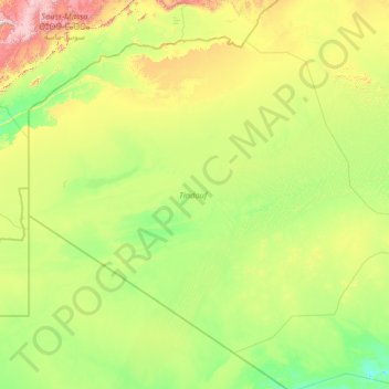
Name: Tinduf topographic map, elevation, terrain.
Location: Tinduf, Algeria (25.51348 -8.66891 29.60791 -2.98025)
Average elevation: 467 m
Minimum elevation: 209 m
Maximum elevation: 2,201 m
Other topographic maps
Click on a map to view its topography, its elevation and its terrain.