
Broxburn topographic map
Interactive map
Click on the map to display elevation.
About this map
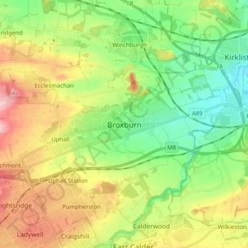
Name: Broxburn topographic map, elevation, terrain.
Location: Broxburn, West Lothian, Scotland, EH52 5AG, United Kingdom (55.89439 -3.50939 55.97439 -3.42939)
Average elevation: 97 m
Minimum elevation: 29 m
Maximum elevation: 201 m