
Zebulon topographic map
Interactive map
Click on the map to display elevation.
About this map
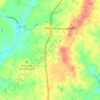
Name: Zebulon topographic map, elevation, terrain.
Location: Zebulon, Pike County, Georgia, United States of America (33.06233 -84.35950 33.11796 -84.32494)
Average elevation: 254 m
Minimum elevation: 222 m
Maximum elevation: 292 m