
Xenia topographic map
Interactive map
Click on the map to display elevation.
About this map
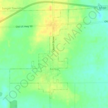
Name: Xenia topographic map, elevation, terrain.
Location: Xenia, Clay County, Illinois, United States of America (38.62854 -88.64899 38.65069 -88.63026)
Average elevation: 164 m
Minimum elevation: 151 m
Maximum elevation: 177 m