
Noordoostpolder topographic map
Interactive map
Click on the map to display elevation.
About this map
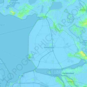
Name: Noordoostpolder topographic map, elevation, terrain.
Location: Noordoostpolder, Flevoland, Netherlands (52.60733 5.37726 52.84398 6.01730)
Average elevation: -1 m
Minimum elevation: -7 m
Maximum elevation: 12 m
Dutch topographic map of the municipality of Noordoostpolder, June 2015