
Hall County topographic map
Interactive map
Click on the map to display elevation.
About this map
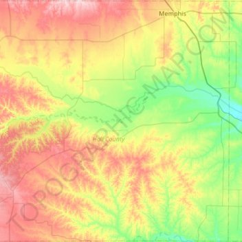
Name: Hall County topographic map, elevation, terrain.
Location: Hall County, Texas, United States of America (34.31277 -100.94606 34.74830 -100.41576)
Average elevation: 627 m
Minimum elevation: 528 m
Maximum elevation: 774 m
Other topographic maps
Click on a map to view its topography, its elevation and its terrain.