
American Falls topographic map
Interactive map
Click on the map to display elevation.
American Falls
American Falls is located at 42°46′52″N 112°51′20″W / 42.78111°N 112.85556°W / 42.78111; -112.85556 (42.781121, -112.855694), at an elevation of 4,406 feet (1,343 m).
About this map
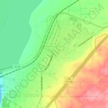
Name: American Falls topographic map, elevation, terrain.
Average elevation: 1,346 m
Minimum elevation: 1,296 m
Maximum elevation: 1,406 m