
Power County topographic map
Interactive map
Click on the map to display elevation.
About this map
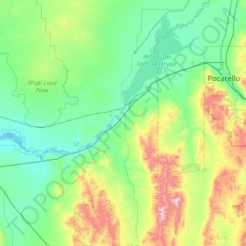
Name: Power County topographic map, elevation, terrain.
Location: Power County, Idaho, United States of America (42.32754 -113.24354 43.11344 -112.37952)
Average elevation: 1,527 m
Minimum elevation: 1,275 m
Maximum elevation: 2,622 m
Other topographic maps
Click on a map to view its topography, its elevation and its terrain.