
Maarif topographic map
Interactive map
Click on the map to display elevation.
About this map
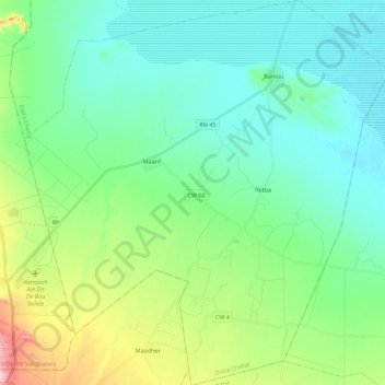
Name: Maarif topographic map, elevation, terrain.
Location: Maarif, Chellal District, M'Sila, Algeria (35.27011 4.19896 35.45036 4.40910)
Average elevation: 443 m
Minimum elevation: 396 m
Maximum elevation: 925 m