
Winterton topographic map
Interactive map
Click on the map to display elevation.
About this map
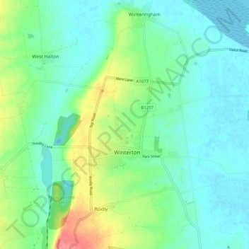
Name: Winterton topographic map, elevation, terrain.
Location: Winterton, North Lincolnshire, England, United Kingdom (53.64797 -0.62808 53.67519 -0.52816)
Average elevation: 19 m
Minimum elevation: -3 m
Maximum elevation: 71 m