
Poplar River topographic map
Interactive map
Click on the map to display elevation.
About this map
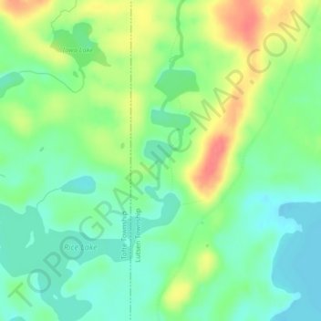
Name: Poplar River topographic map, elevation, terrain.
Location: Poplar River, Cook County, Minnesota, United States (47.78891 -90.76283 47.79088 -90.76110)
Average elevation: 533 m
Minimum elevation: 509 m
Maximum elevation: 573 m
Other topographic maps
Click on a map to view its topography, its elevation and its terrain.
Zoo Lake
United States > Minnesota > Cook County
Zoo Lake, West Cook, Cook County, Minnesota, United States
Average elevation: 573 m