
Vagharshapat topographic map
Interactive map
Click on the map to display elevation.
About this map
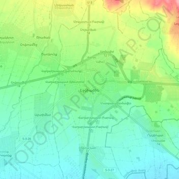
Name: Vagharshapat topographic map, elevation, terrain.
Average elevation: 873 m
Minimum elevation: 841 m
Maximum elevation: 948 m
The city has an average elevation of 853 metres (2,799 feet) above sea level. The climate is cold semi-arid (Köppen climate classification BSk).