
Dundalk topographic map
Interactive map
Click on the map to display elevation.
About this map
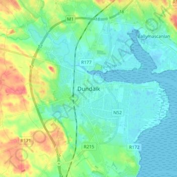
Name: Dundalk topographic map, elevation, terrain.
Location: Dundalk, County Louth, Leinster, A91 RC44, Ireland (53.96460 -6.44089 54.04460 -6.36089)
Average elevation: 16 m
Minimum elevation: -1 m
Maximum elevation: 59 m