
Tall Butnan topographic map
Interactive map
Click on the map to display elevation.
About this map
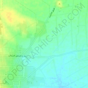
Name: Tall Butnan topographic map, elevation, terrain.
Location: Tall Butnan, al-Bab District, Aleppo, Syria (36.38328 37.53328 36.38338 37.53338)
Average elevation: 449 m
Minimum elevation: 440 m
Maximum elevation: 463 m
Other topographic maps
Click on a map to view its topography, its elevation and its terrain.
Jabal Sulaym
Jabal Sulaym, Manbij, Manbij District, Aleppo, Syria
Average elevation: 430 m