
Sneek topographic map
Interactive map
Click on the map to display elevation.
About this map
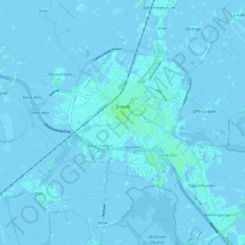
Name: Sneek topographic map, elevation, terrain.
Location: Sneek, Súdwest-Fryslân, Friesland, Netherlands, The Netherlands (53.00356 5.61468 53.05468 5.72460)
Average elevation: 0 m
Minimum elevation: -5 m
Maximum elevation: 5 m
Other topographic maps
Click on a map to view its topography, its elevation and its terrain.
Súdwest-Fryslân
The Netherlands > Friesland > Súdwest-Fryslân
Súdwest-Fryslân, Friesland, Netherlands, The Netherlands
Average elevation: 0 m