
Drakensberg topographic map
Interactive map
Click on the map to display elevation.
Drakensberg
The Drakensberg (Zulu: uKhahlamba, Sotho: Maloti, Afrikaans: Drakensberge) is the eastern portion of the Great Escarpment, which encloses the central Southern African plateau. The Great Escarpment reaches its greatest elevation – 2,000 to 3,482 metres (6,562 to 11,424 feet) within the border region of South Africa and Lesotho.
About this map
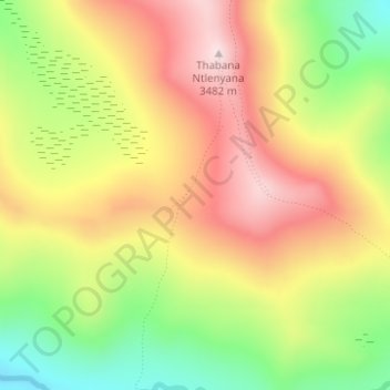
Name: Drakensberg topographic map, elevation, terrain.
Location: Drakensberg, Mokhotlong District, Lesotho (-29.47804 29.26727 -29.47794 29.26737)
Average elevation: 3,286 m
Minimum elevation: 3,072 m
Maximum elevation: 3,478 m
Other topographic maps
Click on a map to view its topography, its elevation and its terrain.