
Wouri topographic map
Interactive map
Click on the map to display elevation.
About this map
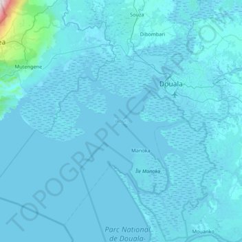
Name: Wouri topographic map, elevation, terrain.
Location: Wouri, Littoral, Cameroon (3.65756 9.20522 4.22517 9.86441)
Average elevation: 45 m
Minimum elevation: -7 m
Maximum elevation: 2,468 m
Other topographic maps
Click on a map to view its topography, its elevation and its terrain.