
Bonheiden topographic map
Interactive map
Click on the map to display elevation.
About this map
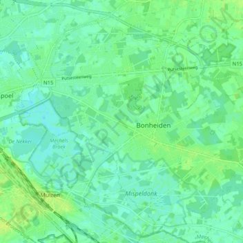
Name: Bonheiden topographic map, elevation, terrain.
Location: Bonheiden, Mechelen, Antwerp, Flanders, 2820, Belgium (51.00513 4.50282 51.04687 4.58271)
Average elevation: 6 m
Minimum elevation: 0 m
Maximum elevation: 12 m