
Mutarara topographic map
Interactive map
Click on the map to display elevation.
About this map
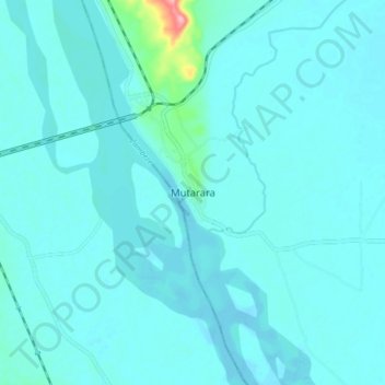
Name: Mutarara topographic map, elevation, terrain.
Location: Mutarara, Tete, Mozambique (-17.49396 35.03918 -17.41396 35.11918)
Average elevation: 45 m
Minimum elevation: 34 m
Maximum elevation: 166 m