
Deinze topographic map
Interactive map
Click on the map to display elevation.
About this map
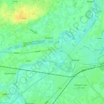
Name: Deinze topographic map, elevation, terrain.
Location: Deinze, Gent, East Flanders, Flanders, Belgium (50.97672 3.46795 51.00063 3.56235)
Average elevation: 10 m
Minimum elevation: 2 m
Maximum elevation: 23 m
Other topographic maps
Click on a map to view its topography, its elevation and its terrain.