
Jukskei River topographic map
Interactive map
Click on the map to display elevation.
About this map
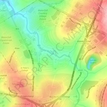
Name: Jukskei River topographic map, elevation, terrain.
Average elevation: 1,482 m
Minimum elevation: 1,409 m
Maximum elevation: 1,554 m
Other topographic maps
Click on a map to view its topography, its elevation and its terrain.
Jukskei
South Africa > Gauteng > Sandton
Jukskei, Sandton, City of Johannesburg Metropolitan Municipality, Gauteng, 2065, South Africa
Average elevation: 1,558 m