
Lendak topographic map
Interactive map
Click on the map to display elevation.
About this map
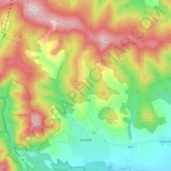
Name: Lendak topographic map, elevation, terrain.
Average elevation: 901 m
Minimum elevation: 681 m
Maximum elevation: 1,185 m
Other topographic maps
Click on a map to view its topography, its elevation and its terrain.
Poprad
Slovakia > Region of Prešov > District of Kežmarok
Poprad, District of Kežmarok, Region of Prešov, Eastern Slovakia, 05992, Slovakia
Average elevation: 661 m