
2924 topographic map
Interactive map
Click on the map to display elevation.
About this map
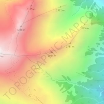
Name: 2924 topographic map, elevation, terrain.
Location: 2924, Mestia Municipality, Samegrelo-Upper Svaneti, Georgia (43.09889 42.71114 43.09899 42.71124)
Average elevation: 2,627 m
Minimum elevation: 1,800 m
Maximum elevation: 3,361 m