
Iganga topographic map
Interactive map
Click on the map to display elevation.
About this map
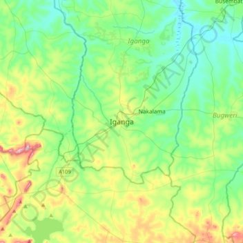
Name: Iganga topographic map, elevation, terrain.
Location: Iganga, Eastern Region, Uganda (0.45549 33.31946 0.77549 33.63946)
Average elevation: 1,129 m
Minimum elevation: 1,054 m
Maximum elevation: 1,324 m