
County Dublin topographic map
Interactive map
Click on the map to display elevation.
About this map
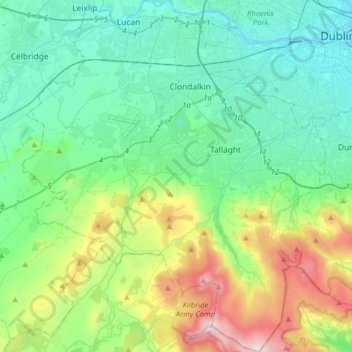
Name: County Dublin topographic map, elevation, terrain.
Location: South Dublin, County Dublin, Leinster, Ireland (53.17826 -6.54689 53.36849 -6.27054)
Average elevation: 183 m
Minimum elevation: 3 m
Maximum elevation: 745 m
Other topographic maps
Click on a map to view its topography, its elevation and its terrain.