
Sør-Rokta topographic map
Interactive map
Click on the map to display elevation.
About this map
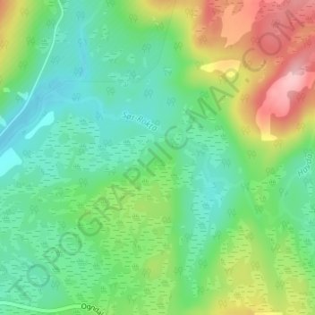
Name: Sør-Rokta topographic map, elevation, terrain.
Location: Sør-Rokta, Steinkjer, Trøndelag, 7718, Norway (63.98094 11.95954 63.99119 12.00190)
Average elevation: 214 m
Minimum elevation: 165 m
Maximum elevation: 315 m
Other topographic maps
Click on a map to view its topography, its elevation and its terrain.