
Caroleen topographic map
Interactive map
Click on the map to display elevation.
About this map
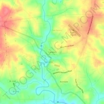
Name: Caroleen topographic map, elevation, terrain.
Location: Caroleen, Rutherford County, North Carolina, 28019, USA (35.26096 -81.81621 35.30096 -81.77621)
Average elevation: 260 m
Minimum elevation: 220 m
Maximum elevation: 300 m