
Ga-Segonyana Ward 13 topographic map
Interactive map
Click on the map to display elevation.
About this map
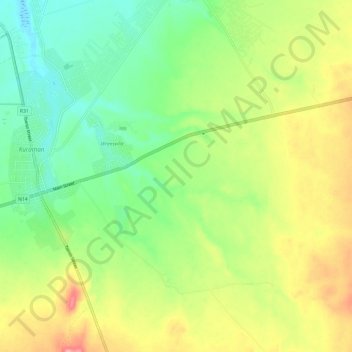
Name: Ga-Segonyana Ward 13 topographic map, elevation, terrain.
Average elevation: 1,346 m
Minimum elevation: 1,299 m
Maximum elevation: 1,416 m