
Froidchapelle topographic map
Interactive map
Click on the map to display elevation.
About this map
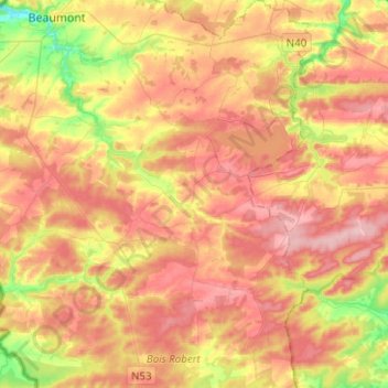
Name: Froidchapelle topographic map, elevation, terrain.
Location: Froidchapelle, Thuin, Hainaut, Wallonia, Belgium (50.08263 4.28199 50.24275 4.40140)
Average elevation: 236 m
Minimum elevation: 152 m
Maximum elevation: 300 m