
Kedung Cowek topographic map
Interactive map
Click on the map to display elevation.
About this map
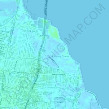
Name: Kedung Cowek topographic map, elevation, terrain.
Location: Kedung Cowek, Bulak, Surabaya, East Java, Indonesia (-7.22627 112.77532 -7.20823 112.78887)
Average elevation: 1 m
Minimum elevation: -6 m
Maximum elevation: 8 m
Other topographic maps
Click on a map to view its topography, its elevation and its terrain.